ABOUT FIRESAT

FireSat

The first satellite constellation designed specifically for wildfire detection, monitoring, and response. FireSat will generate an unprecedented dataset on wildfire and its effects on the planet and our communities.

FireSat Orbit
Visualizations

Explore

Globe view highlighting Australia with location marker

Built with and for the global
wildfire community.

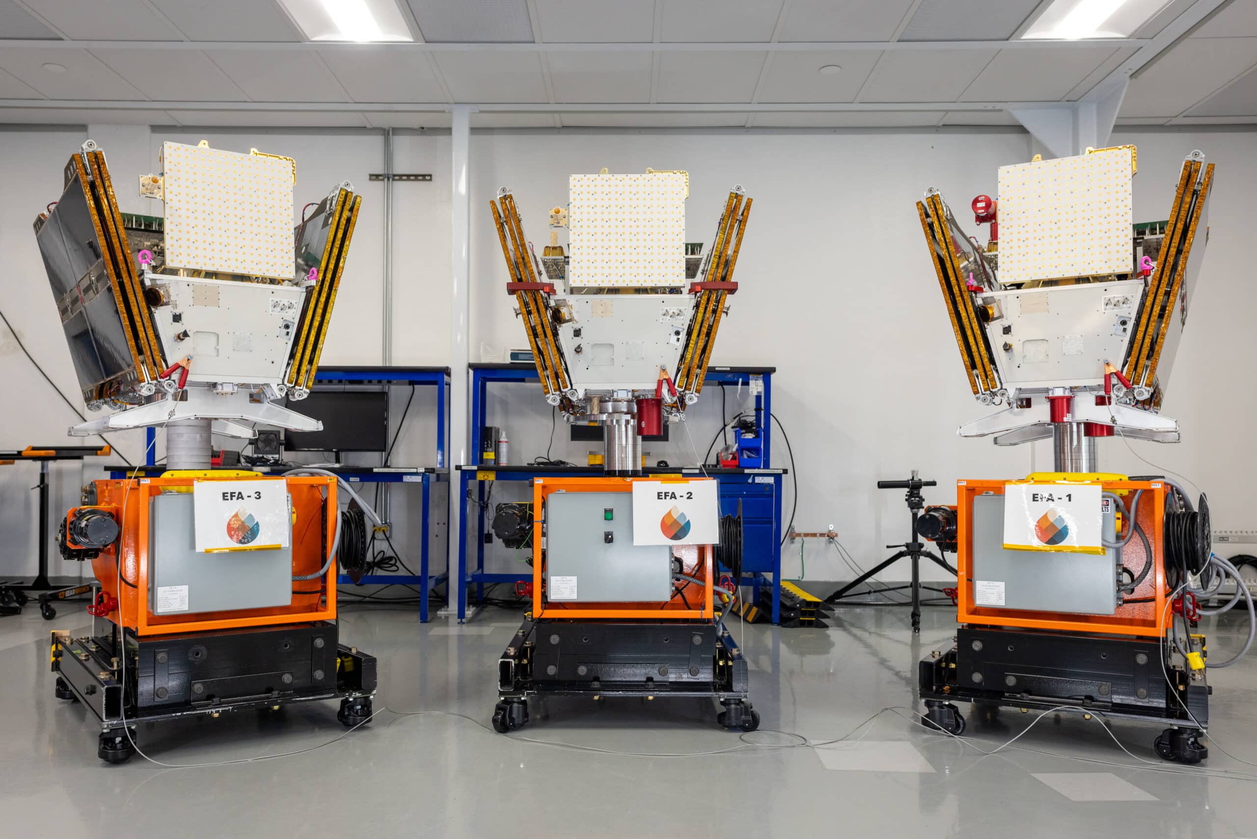
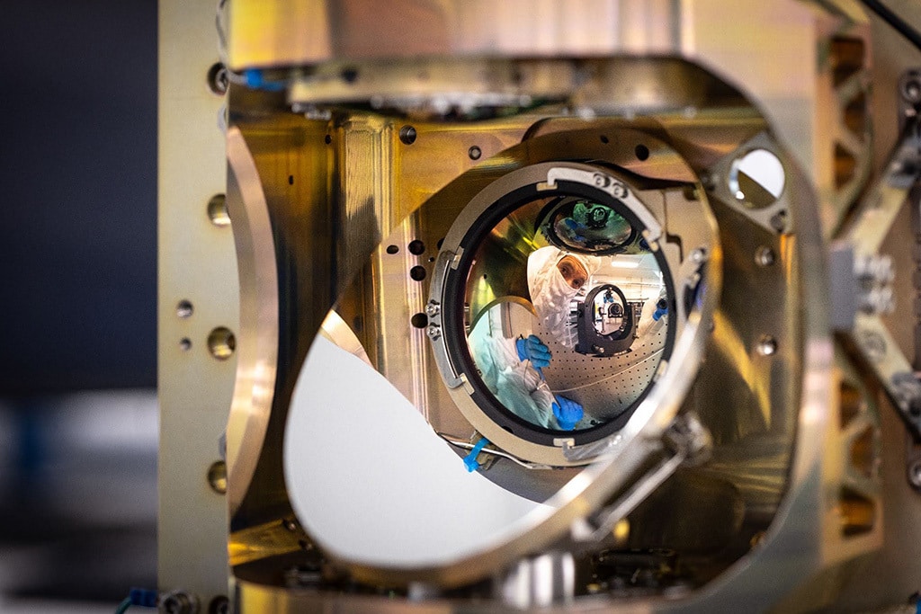
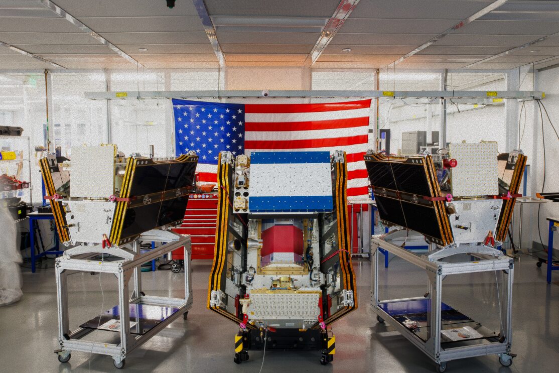
For decades, firefighters and scientists have relied on satellites designed for other purposes — meaning critical data that arrives too late and a scientific record that hasn’t kept pace with the scale of the challenge. Earth Fire Alliance was formed to close that gap, and together with our technical partner Muon Space, we developed FireSat differently.

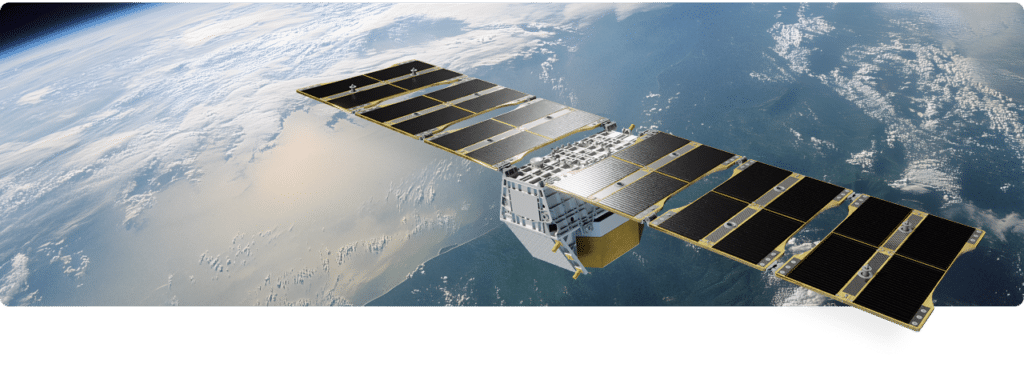
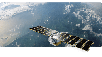
Satellite with solar panels orbiting above Earth
Satellite with solar panels orbiting Earth above clouds

Through interviews with 200+ firefighters, incident commanders, and scientists worldwide, we built what the community asked for: frequent, high-resolution data delivered in time to act. The result is a constellation unmatched by any existing or planned satellite system, and a dataset poised to transform how humanity understands, prepares for, and responds to wildfire.

FireSat by the Numbers

Data Products

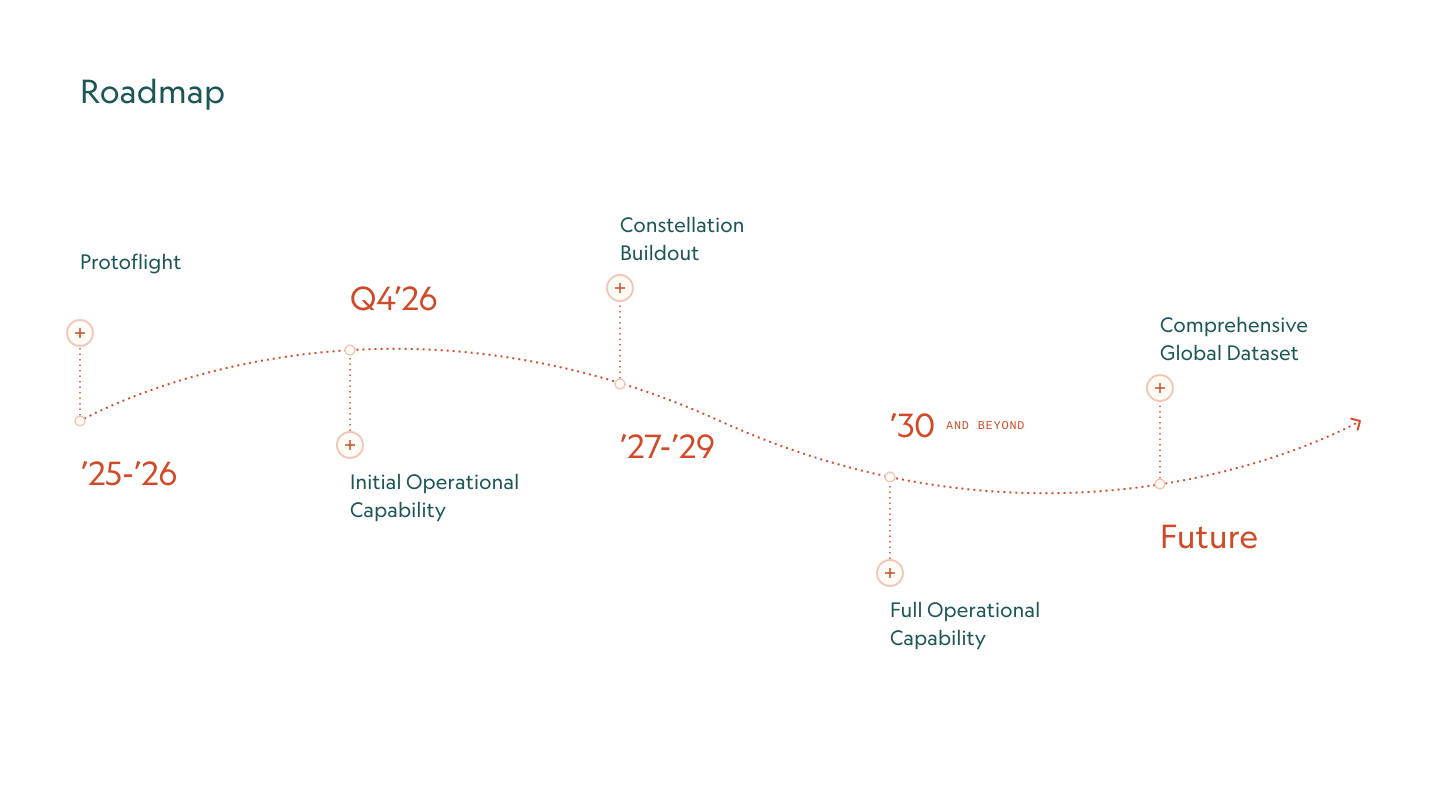
FireSat Roadmap FireSat Roadmap

PROJECTED ANNUAL IMPACT

United States at a 1-hour FireSat revisit rate

*Projections based on published research. U.S. figures are illustrative of global potential.

$

1B

+
In fire damage costs avoided

3,500

Homes and properties protected
1.3
m
Acres of burned land reduced
21.9
m
Tons of carbon emissions prevented

*Projections based on published research. U.S. figures are illustrative of global potential.

Global Wildfire Data for the Public Good

Our vision is to make transformative wildfire data accessible to every fire agency, scientist, and community that needs it—because better data protects lives, communities, and ecosystems.

Fire agencies

Seamlessly integrate FireSat data into existing operational workflows, from early detection to safe response and efficient resource allocation.

Scientists & researchers

Access a first-of-its-kind global wildfire dataset for modeling, analysis, and discovery. FireSat presents new opportunities to understand fire behavior, ecosystem impacts, and climate change.

NGOs

Partner with us to help FireSat data reach under-resourced fire agencies and communities worldwide.

FireSat
Resources

Everything you need to understand, evaluate, and prepare to integrate FireSat data — from training materials, webinars, and data guides to sample imagery, fact sheets, and more.

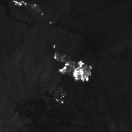
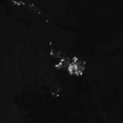
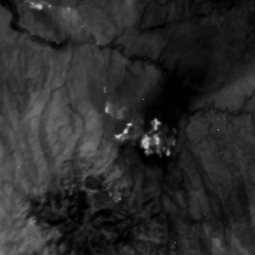
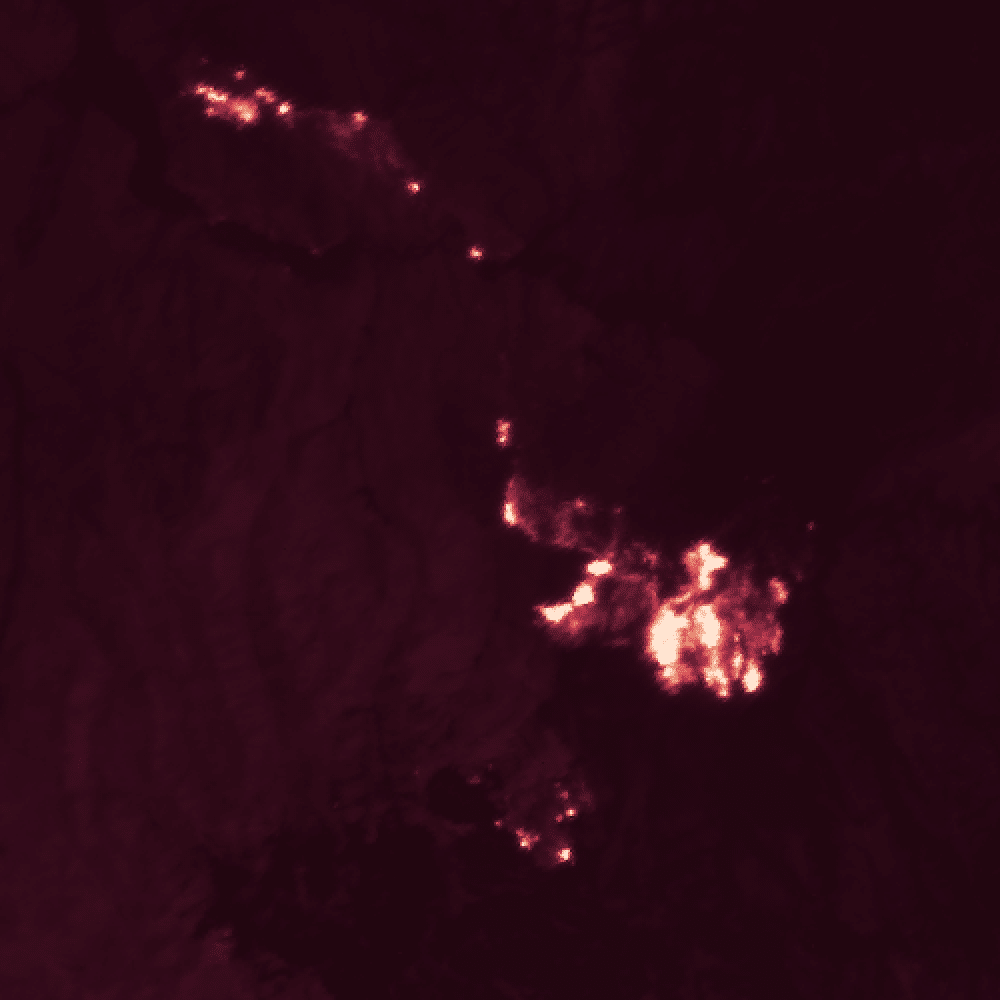
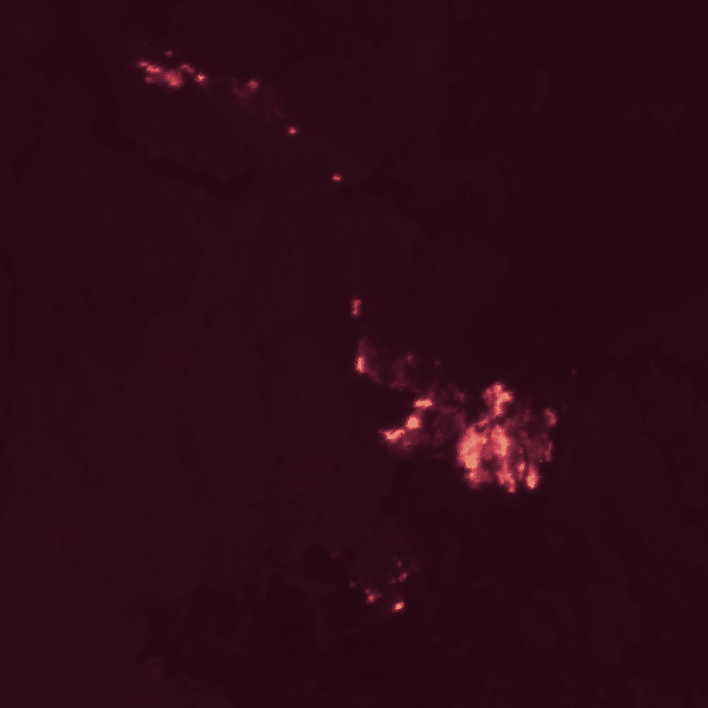
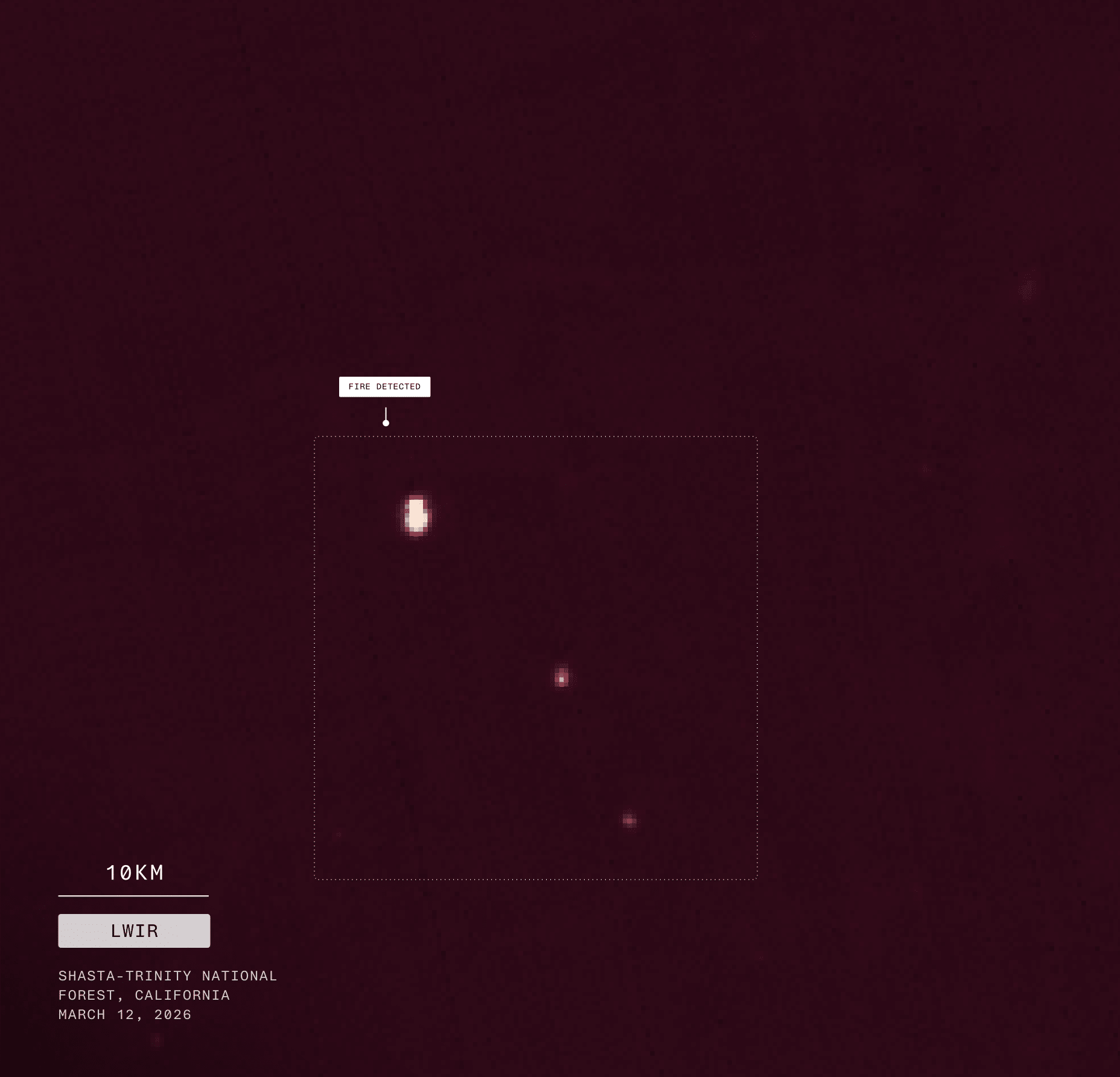
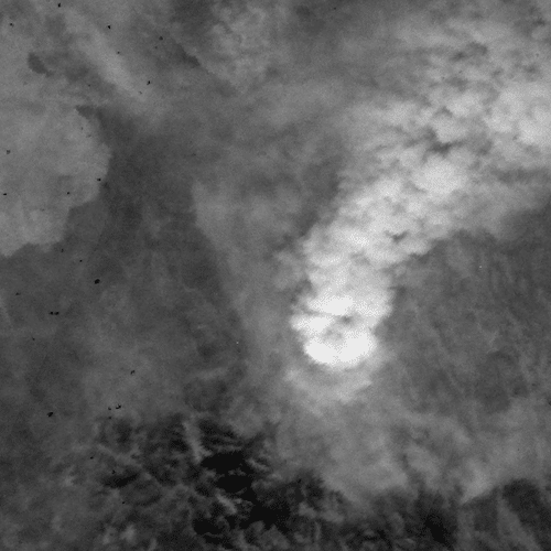
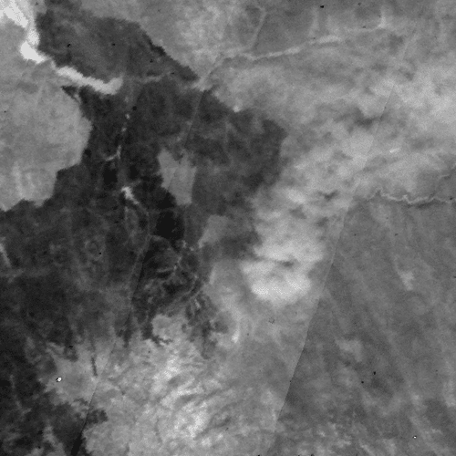
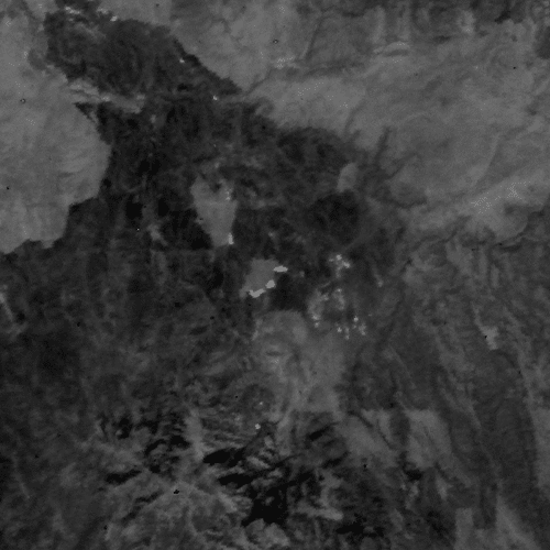
Thermal satellite image showing wildfire hotspots in California
Scroll to Top