Firesat
Data

Global Wildfire Data for the Public Good

As a nonprofit, Earth Fire Alliance is committed to making transformative wildfire data accessible to every fire agency, scientist, and community that needs it. 

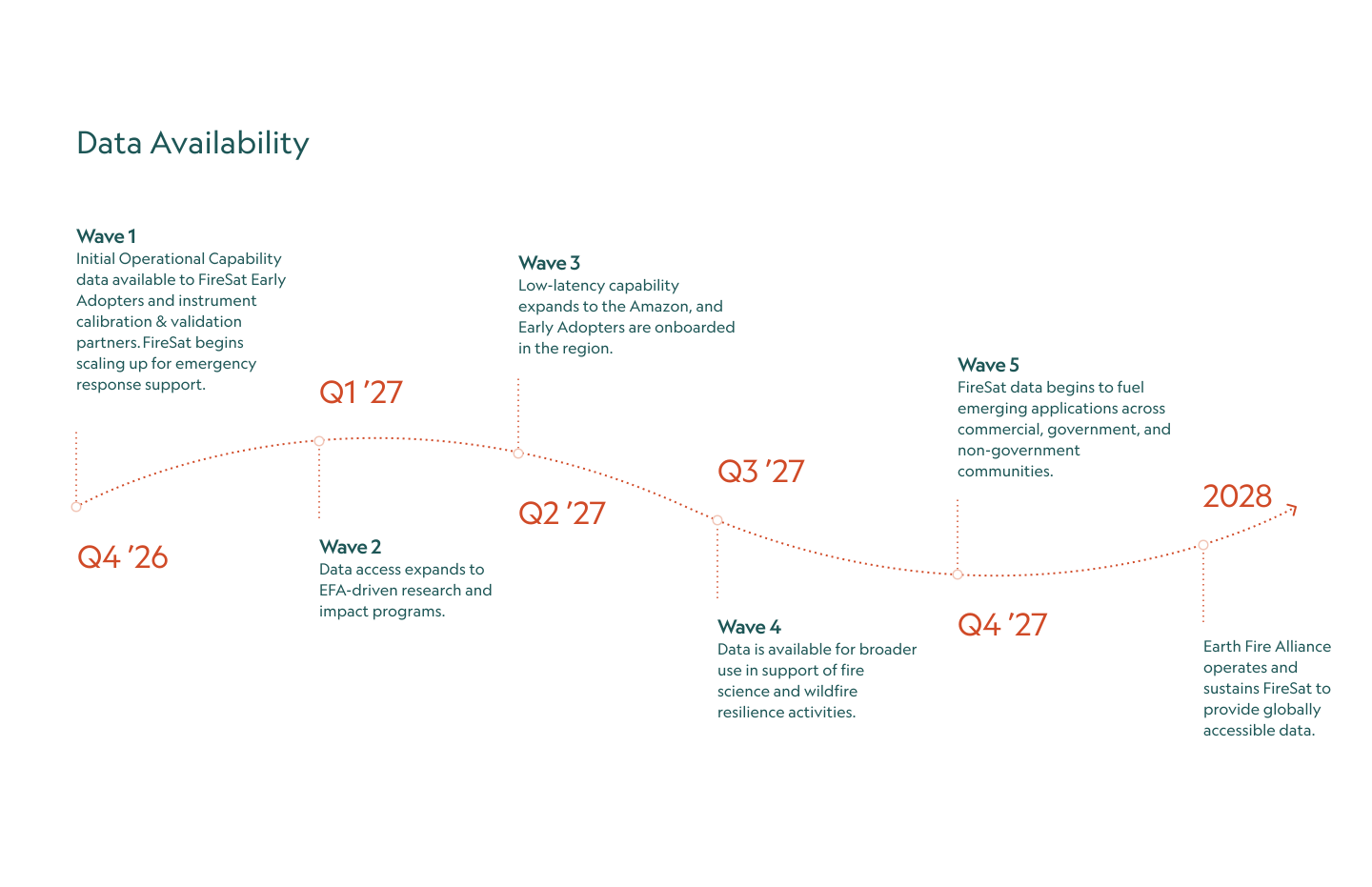
FireSat data and the four FireSat data products—Hotspot Identification, Fire Perimeter, Fire Progression, and Fire Radiative Power—will be available from 2027 to fire response agencies, academic and scientific institutions, and NGOs supporting wildfire resilience through non-commercial licensing.

Commercial data licensing is available for companies in agriculture, infrastructure, insurance, timber, utilities, and beyond.

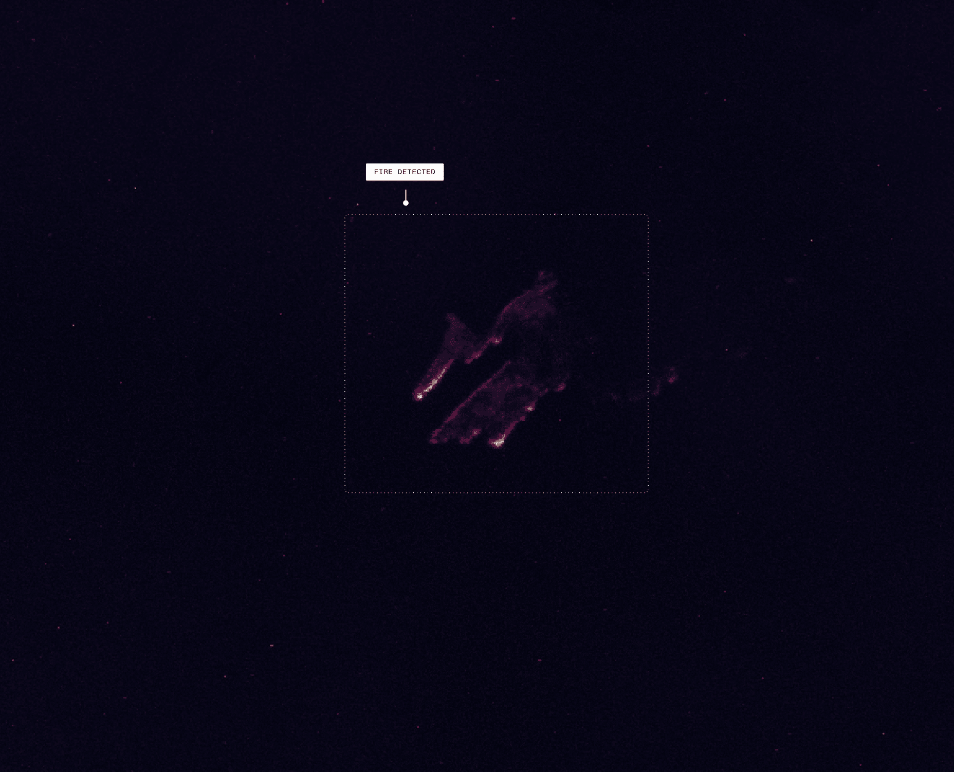
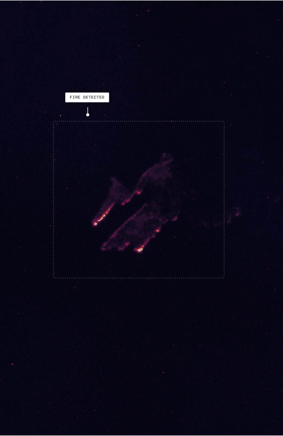
Thermal image showing wildfire detection at night
Satellite thermal image showing wildfire hotspots at night

Data Standards
and Formats

FireSat data is designed for seamless integration across the tools and platforms your teams already use. Data will be available across all spectral bands: Red, NIR, SWIR, MWIR 1 & 2, and LWIR.

Raster Services

Image Feature Service

Mosaic Views

Download

Vector Services

FireSat Data Products

Feature Service

Views

Download

Integrations

API Push and Pull

Google Cloud Platform

Amazon S3

ArcGIS Online

Partner Integrations

Register
Data Interest

Be among the first to know when operational FireSat data is available.

FireSat
Resources

Everything you need to understand, evaluate, and prepare to integrate FireSat data — from training materials, webinars, and data guides to sample imagery, fact sheets, and more.

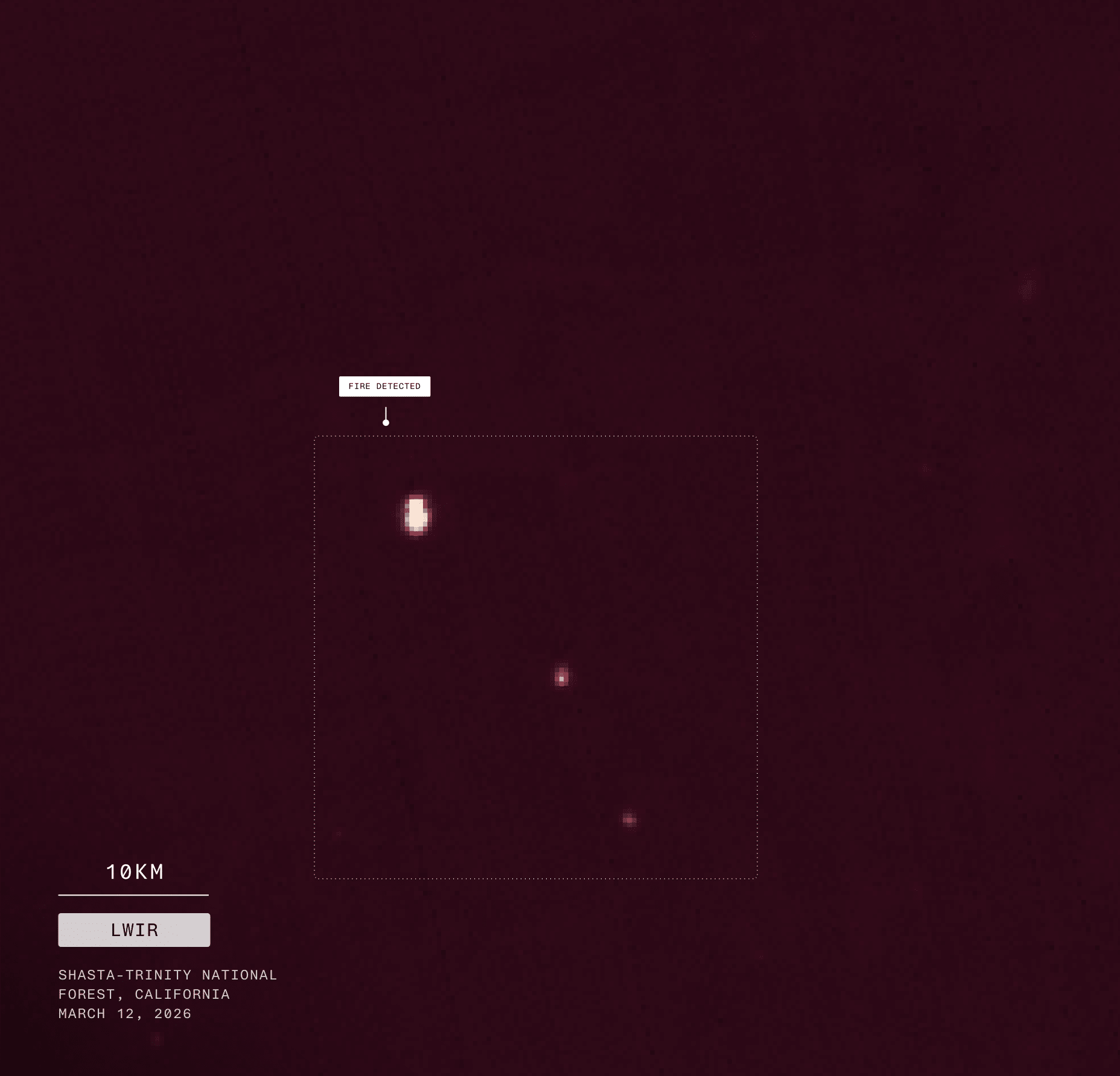
Thermal satellite image showing wildfire hotspots in California
Scroll to Top